Resources:

Once the interactive map opens, click the ➤ button to locate yourself.
Overview
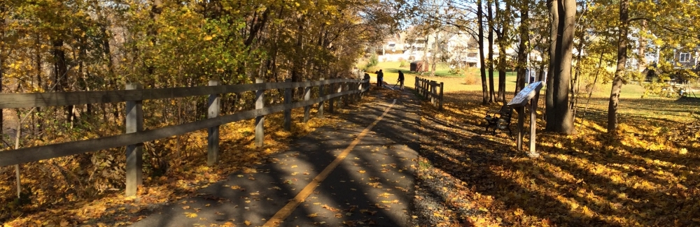
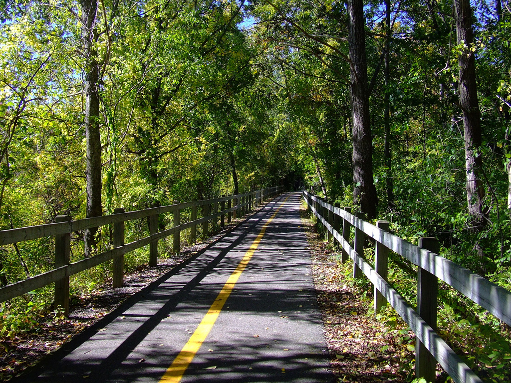
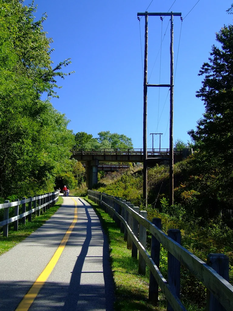
Amesbury's rail trail and bike path is called the Amesbury Riverwalk. This paved path allows walkers and bikers to travel between the Lower Millyard in downtown Amesbury and Carriagetown Marketplace (Stop & Shop) with only one street crossing. The rail trail is well-maintained and is popular with families, walkers and joggers. The trail parallels the Lower Powow River, which is visible through the trees at certain points.
Access
The Riverwalk can be accessed in the following places:

Coastal Trails Coalition produced this great sign to inform visitors about the history of the rail trail.
Access the downtown end of the Riverwalk from the Bartley Machine parking lot at the end of Chestnut St or end of Water St.
A right of way near the intersection of Oakland St. and Marston St.
The Residences at Riverwalk apartments.
The intersection where the rail trail crosses Rocky Hill Rd.
The southern end in the parking lot of Stop & Shop (behind Acapulcos Mexican Family Restaurant)
History and Future
Following the path of the former Salisbury-Amesbury railroad, the Riverwalk was created in 1999 through the hard work of the city and the Coastal Trails Coalition.
Plans are in the works to continue the trail eastward, connecting to the Salisbury Ghost Trail. The Ghost Trail, in turn, will eventually connect to the Eastern Marsh Trail, which brings pedestrians all the way to the Merrimack. When the connections are complete, rail trails will connect Amesbury, Salisbury, and Newburyport.

Photos credit: Paul Fortier